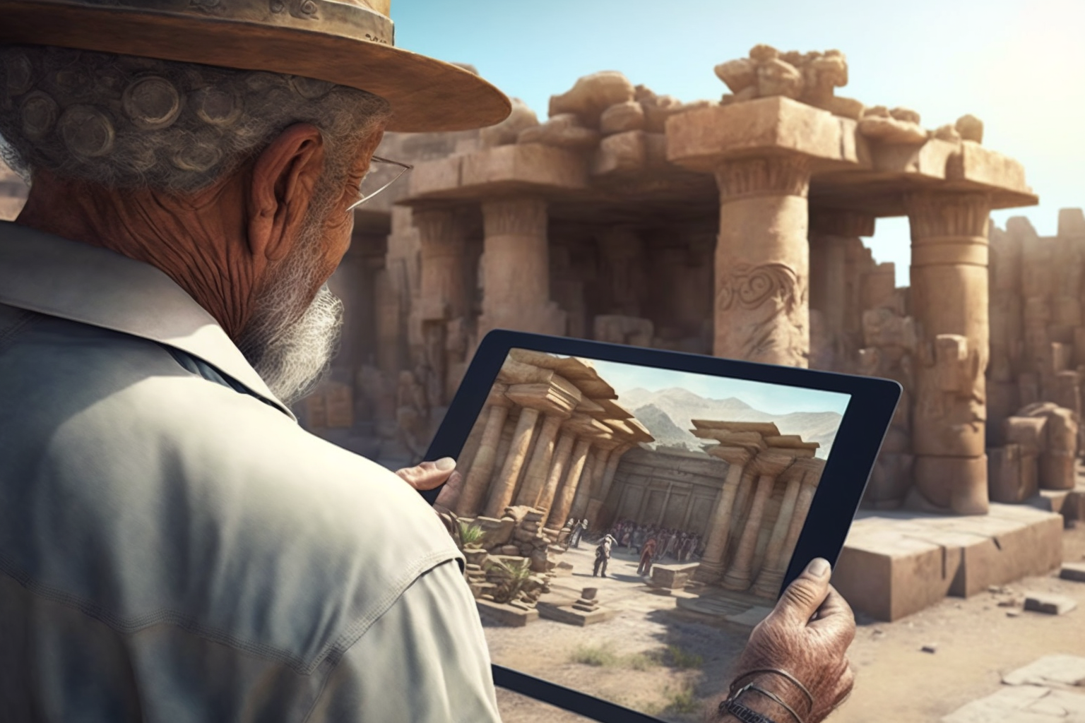
Columbus embarked on a journey to find and develop a westward route to the Far East, but instead discovered a route to the Americas, which were then unknown to the Old World. Columbus’s voyages were the first European expeditions to the Caribbean, Central America, and South America. Columbus never clearly renounced his belief that he had reached the Far East. Based on these journeys Cartography and practice of making maps evolved. Combining science, aesthetics, and technique, cartography builds on the premise that reality can be modeled in ways that communicate spatial information effectively. Augmented Reality is now in 2020 the new tool that enhances reality in ways that communicate spatial information more effectively.
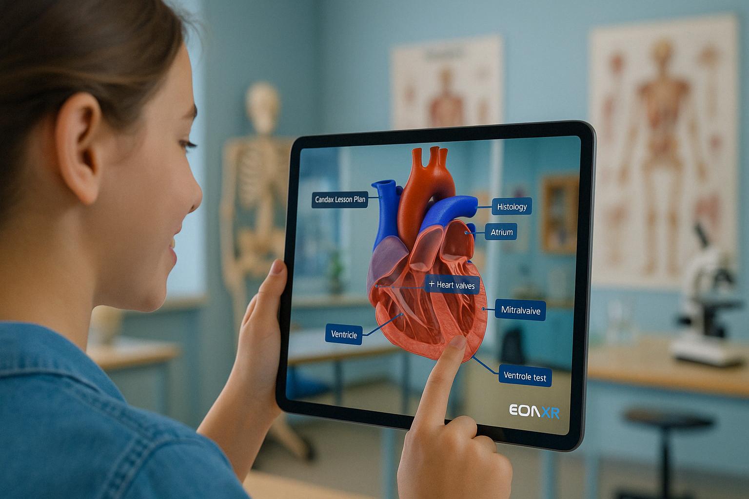
For the full hands-on immersive learning experience please click here.Launch the link on your mobile device using EON-XR if you want to experience it in life size augmented reality.